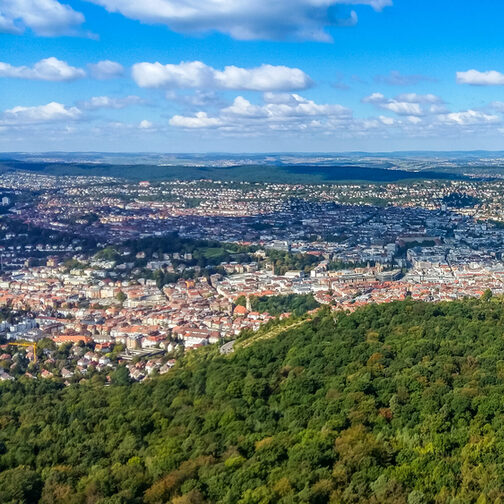
Interactive city map of Stuttgart.
Full view of (opens in a new tab) the map.
Stuttgart Maps not only offers you a good overview of the city. The interactive map also contains a lot of additional information about very different area of city life.
Specific cards
In addition, there are many other data and maps, some of which are highly specialized. These are also summarized according to different topics and life situations.
Living and housing
Leisure and culture
Nature and environment
Transport and mobility
Design and build
Statistics and elections
Printed city map products
In addition to digital maps, the City Surveying Office also publishes maps in printed form. These include the Official City Map and Official City Atlas (both at a scale of 1:15,000), the Official City Center Map (1:10,000) and the Bicycle Map and Leisure Map (both at 1:25,000). In addition, there are other thematic map prints. You can find an overview under Products of the City Surveying Office.
City encyclopedia Stuttgart
You want to learn more about the history of Stuttgart? Then click through the city encyclopedia (opens in a new tab) and learn more about historical people, places and events in Stuttgart.
Scientifically founded, the city encyclopedia invites you to inform, deepen or browse. The City Archive developed this service together with the City Surveyor’s Office and launched it in 2018. It currently comprises 150 entries.


Social